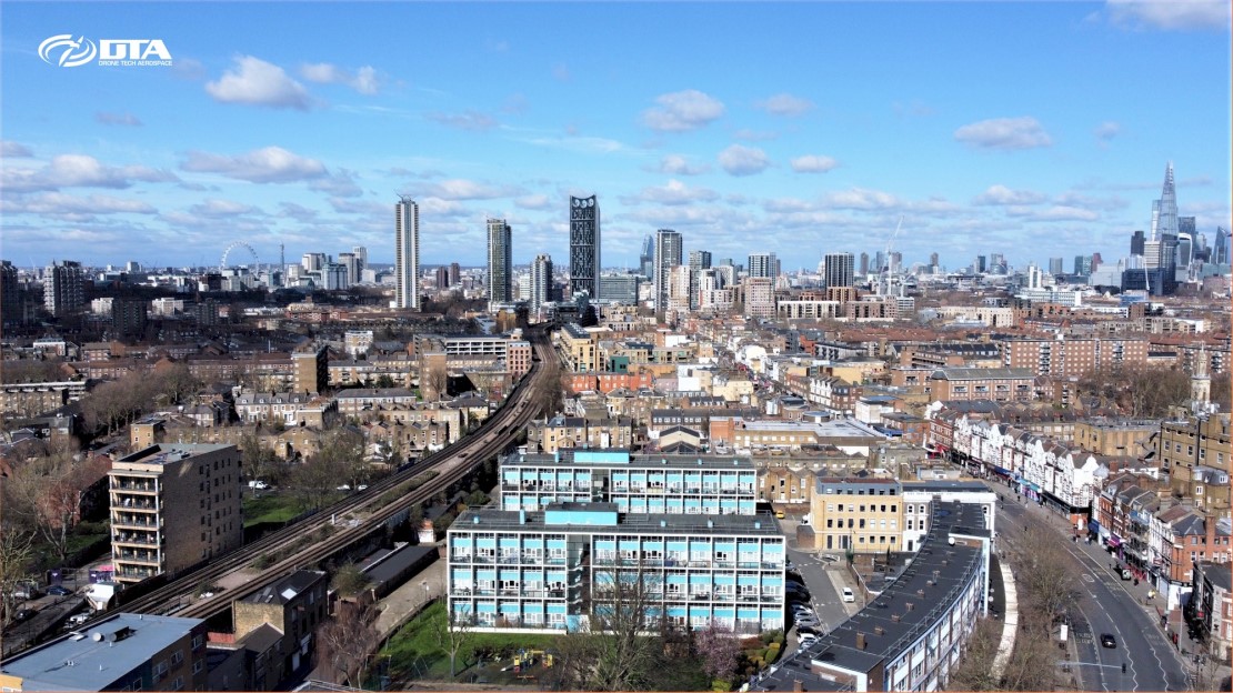
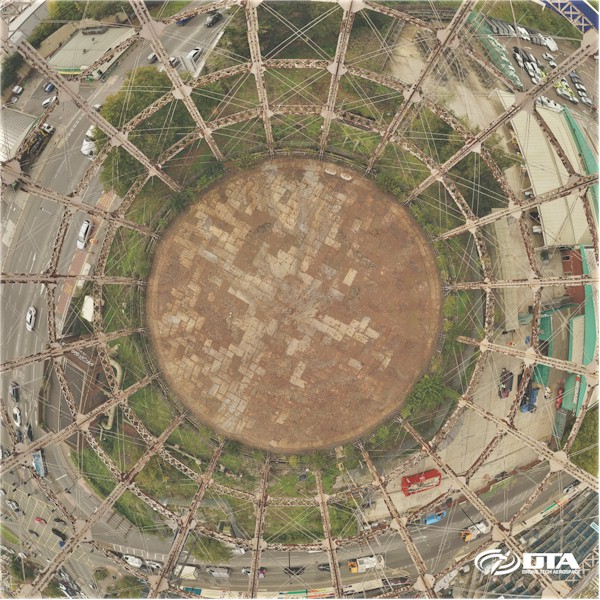
Aerial drone services for land surveying (topographical photogrammetry & LiDAR), inspection of buildings/bridges/cranes/construction sites/industrial structures/renewable energy/roofs, and aerial photography & video/film.
DTA supplies market leading drone services for engineering applications and photography/film.
We develop our own drone technology systems and are able to fly and apply engineering solutions simply not available from the average drone services companies who fly off the shelf drone systems.
DTA works with some of the leading engineering consulting companies such as Atkins and has several years' experience in delivering market leading accuracy and precision in aerial land surveying.
Our aerial photography and video capabilities are of the highest quality.
Take a look at samples of our work and see for yourself.


